AirHUD logo
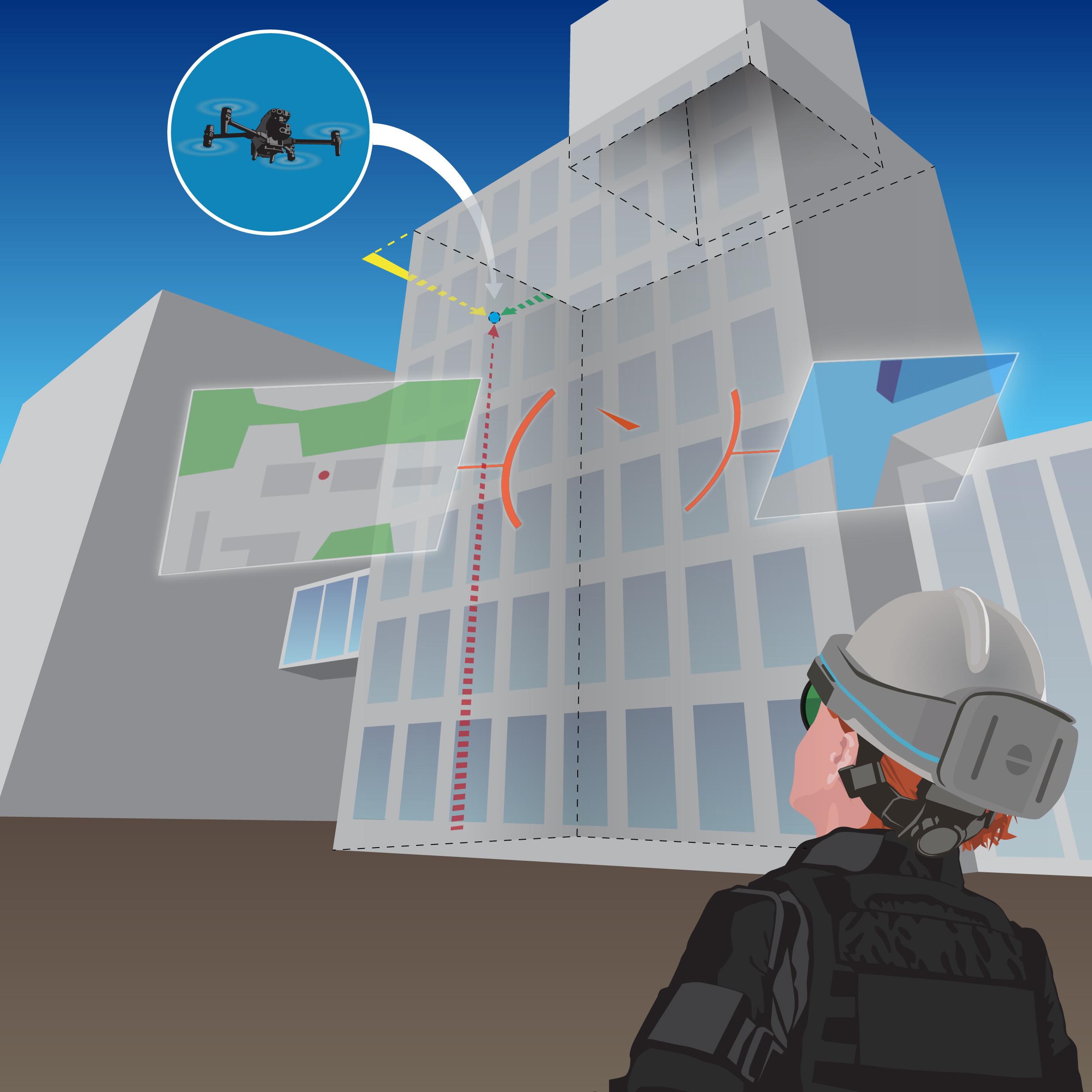
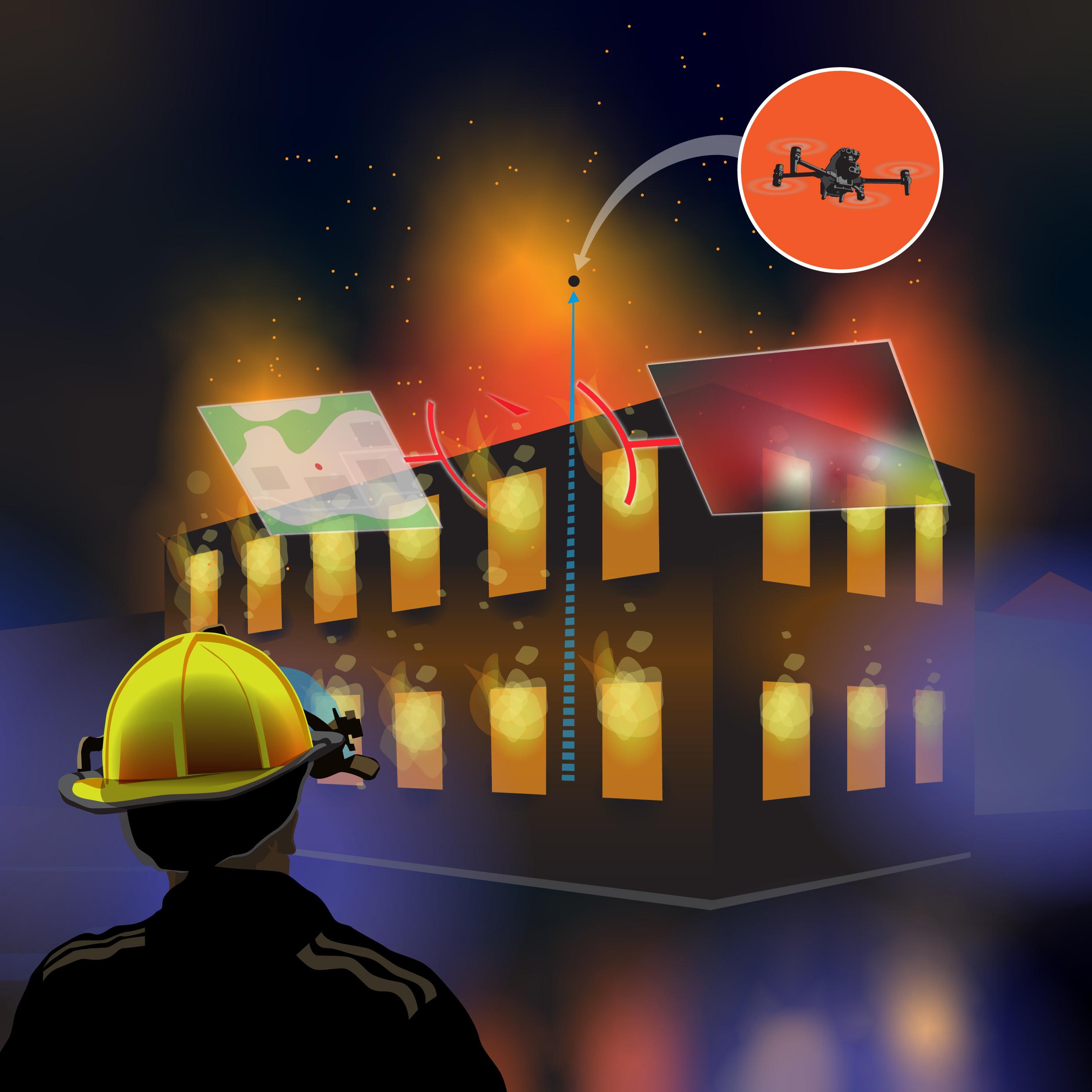
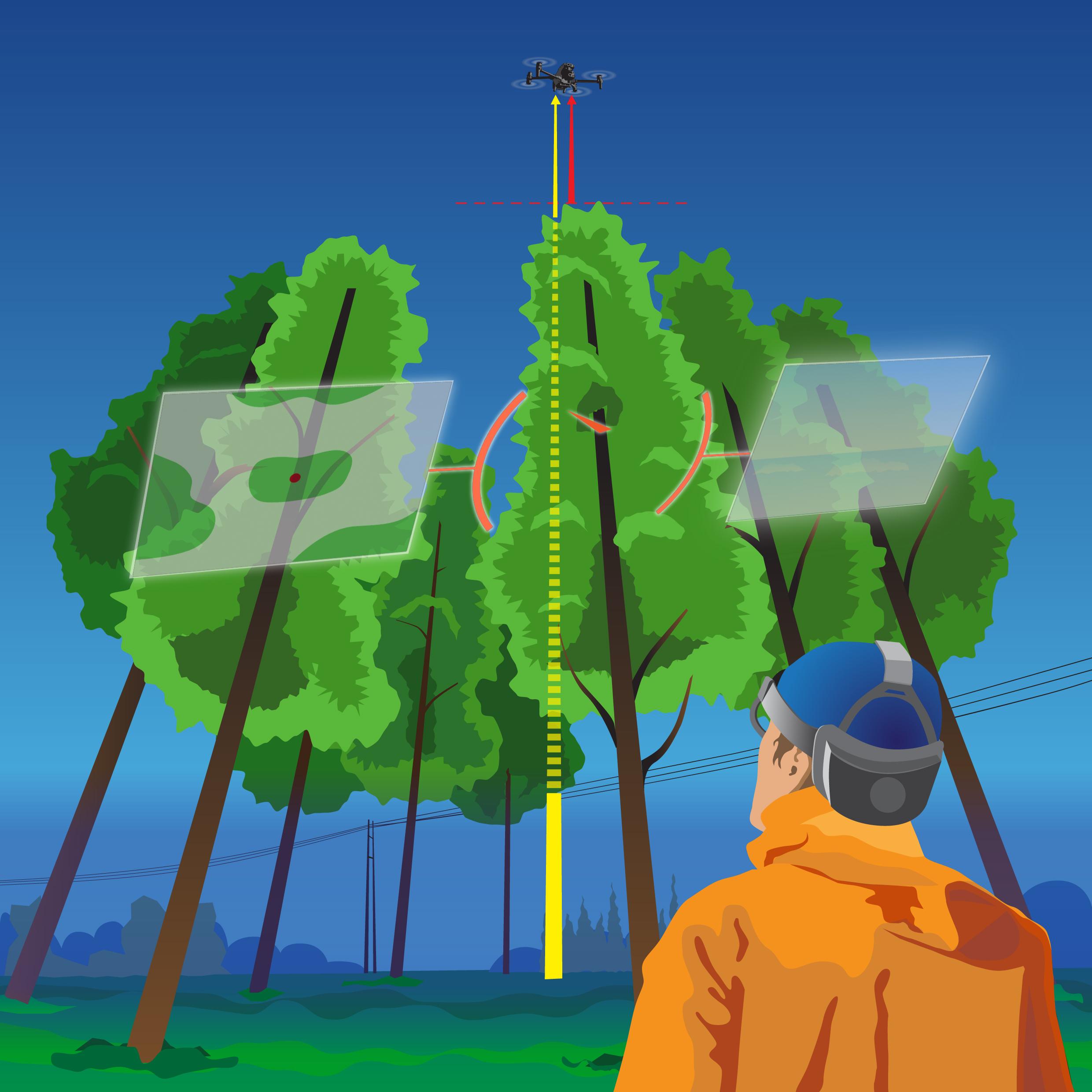
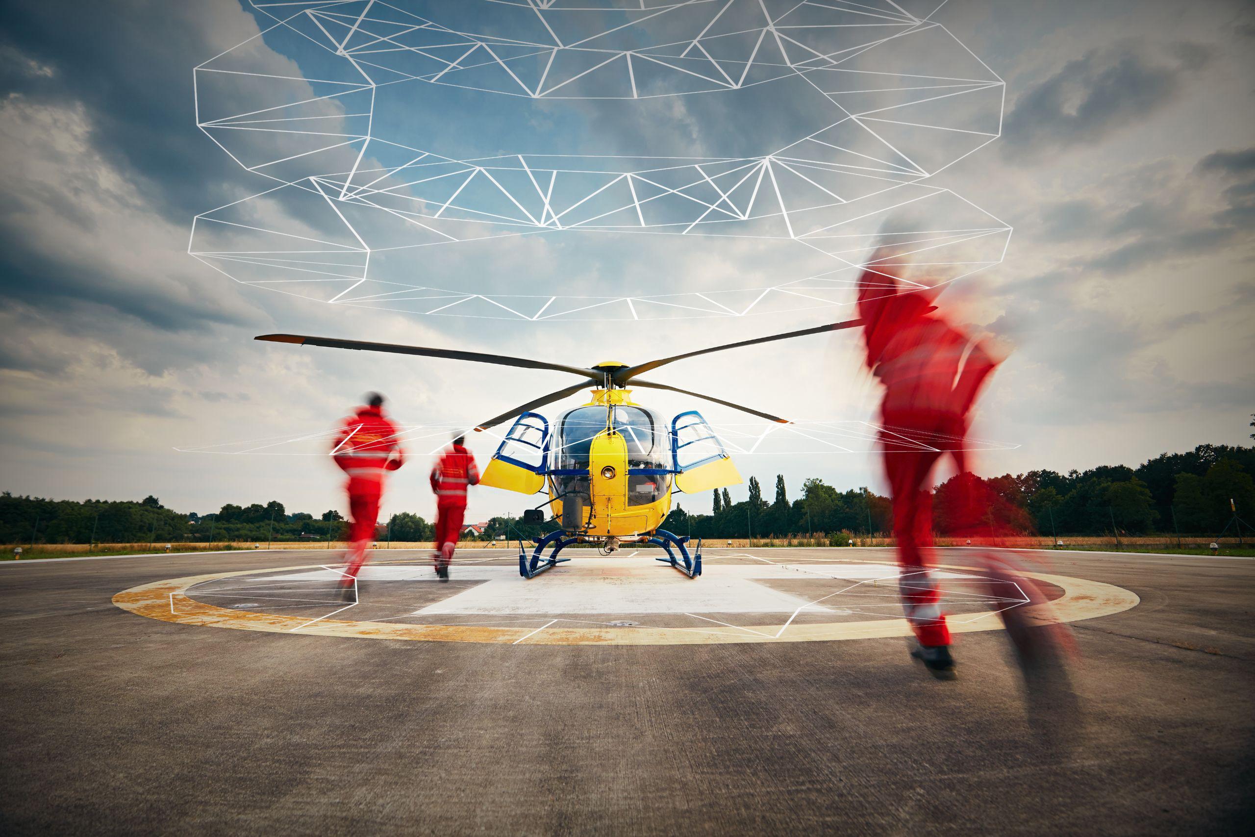
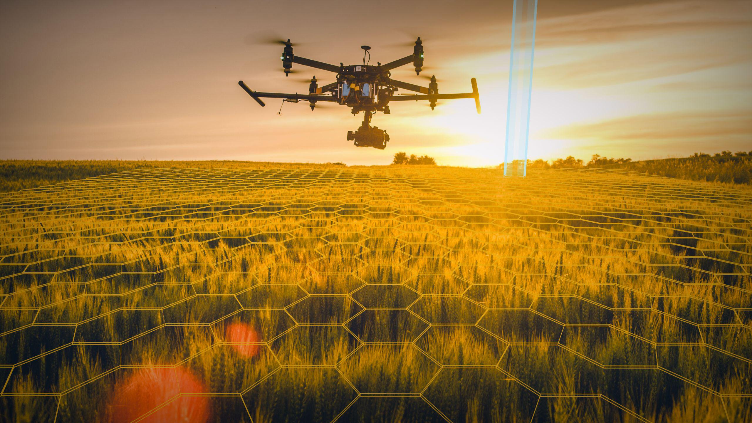
Overlay images showing how a pilot views AirHUD

The Heads-up Display solution for drone pilots

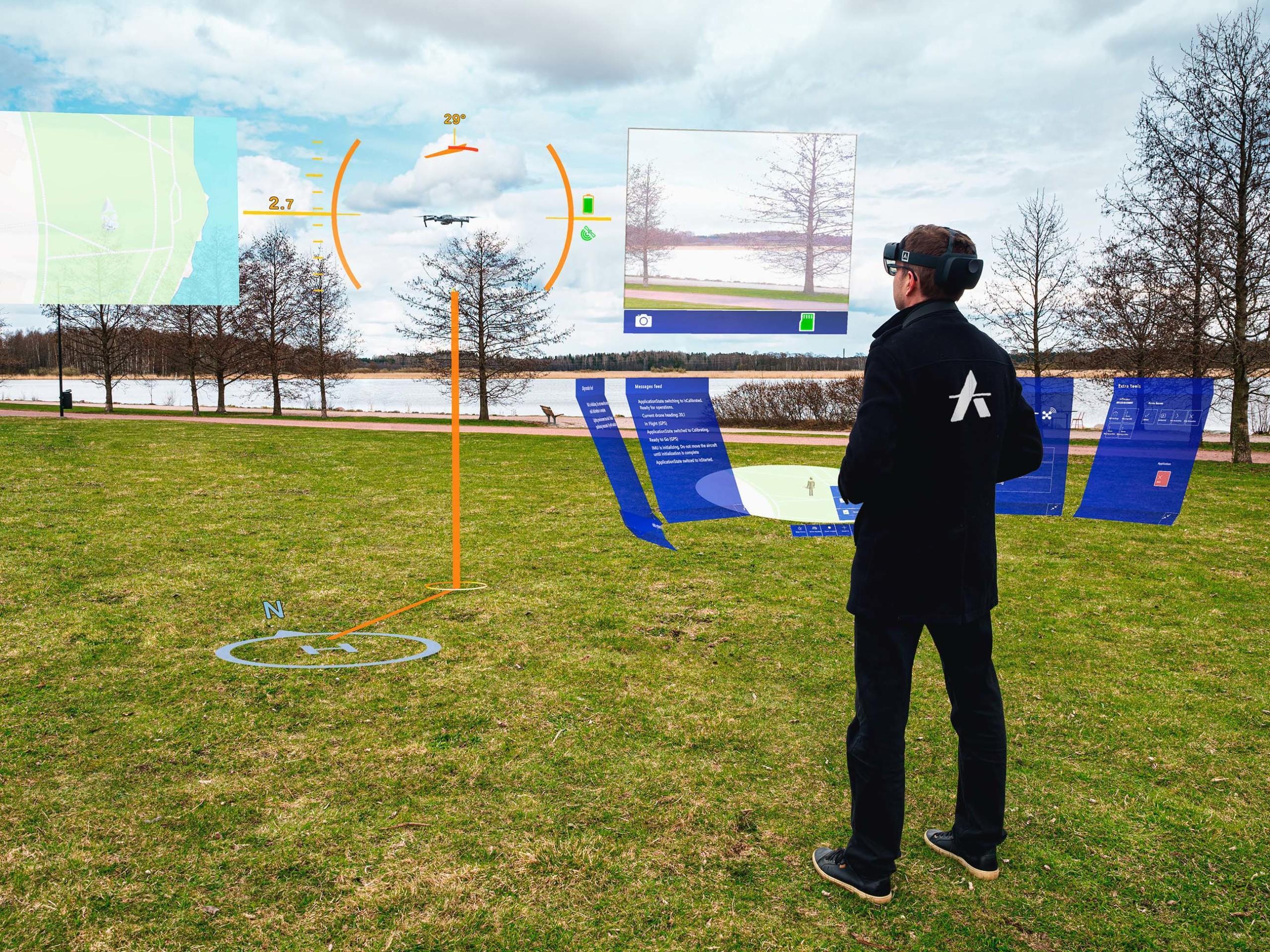
Professional drone pilots can’t see their drones when they get more than 200m away. They become tiny specks in the sky at 100m and in low light they quickly vanish from view. Our patented software AirHUD™ is the first real heads up display for professional drone pilots giving them unlimited situational awareness and allowing them to see the drone in the sky at all times.

We use augmented reality to raise situational awareness to completely new levels. AirHUD™ enables us to display both visible and concealed data, such as distance to buildings, restriction zones, around the drone in real time by using AR glasses.

The pilots can keep their eyes constantly on the drone, increasing operational efficiency and safety by avoiding crashes. Our solution can help pilots perform missions or train drone pilots using simulations of drones for a variety of use cases.

AirHUD™ enables the pilot to fly the drone even behind obstacles and still see their location and relationship to surroundings intuitively.

AirHUD™ makes it trivial to conduct night flights as the drone is always pinpointed in the air, no matter how far away.

Height indicators, including ultrasound / camera based short range detection, are always shown to allow for safe flights, even partially or totally beyond visual line of sight (BVLOS).

Public organizations

AirHUD™ is your new ally in all missions related to search and rescue, security and even defense. Situational awareness is raised to new levels, for pilots, all their team members and the command center.

Inspection

AirHUD™ helps in all inspection missions and especially when visibility or distance are an issue. For example, performing a tank inspection is easier and faster as the pilot can follow live the areas that have been checked already. In a similar way, wind turbine inspection is faster and safer as the pilot always sees at what distance from the blade the drone is. Our ever expanding list of use cases include agriculture, mining, oil & gas, construction, filming and forestry sectors.

See it in action

Contact our team to book demo and see how AirHUD™ performs in action!

Book a demo
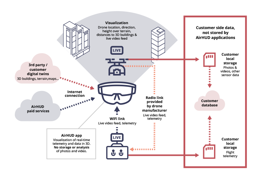
Technical drawing of the way a HUD works

Supported drone models

  • M3 Enterprise models
  • M30 models
  • Mini 3 Pro
  • Matrice 300
  • Mavic 2 Enterprise Advanced, RTK module also supported
  • Mavic 2 Enterprise
  • Mavic 2 Pro
  • Phantom 4 Pro V2
  • Mavic Air 2
  • Mavic Air 2s
  • Mini 2

Other drone platforms can be supported according to client needs, please inquire.

AirHUD™ runs on HoloLens 2, Trimble XR10, Meta Quest Pro and Meta Quest 3  and Magic Leap 2.

Downloads and Documentation

The latest versions of the AirHUD™ applications and the documentation are available for downloading and viewing at app.airhud.io. The documentation is continuously updated with new content, so be sure to visit the website frequently.

DocumentationHololens 2 & Magic Leap 2 softwareQuest Pro & Quest 3 softwareDJI software