Situational awareness is your ability as a pilot or operator to understand the position and movement of your aircraft (or drone) in relation to other aircraft, people, buildings, and other obstacles in the area.
You have to collect and analyse information about your environment and the status of your aircraft in order to understand the situation and anticipate potential hazards. Large aircraft such as commercial airliners and military jets have many systems and procedures to help pilots maintain situational awareness.
For example if you’re the pilot of an aircraft:
- Flight instruments: You have an altimeter and airspeed indicator, to help you understand the aircraft’s position and movement in relation to your surrounding environment.
- Navigation systems: You have state of the art navigation systems that use GPS and other technologies to determine your aircraft’s position and to help you navigate to your destination.
- Communication systems: You have communication systems that allow you to talk with air traffic control and other aircraft in the vicinity.
- Weather radar: You have radar systems that can detect and display weather conditions, such as thunderstorms and other meteorological phenomena, this allows you to see potential hazards and make decisions to avoid dangerous areas.
- Human Factors: Your training and experience as a pilot also plays a critical role in maintaining situational awareness. You can’t just get in an aircraft and fly it, you have to understand how all the instruments mentioned above work and have taken difficult tests to prove your skills before you even get in a cockpit.
All these systems and procedures work together to help you maintain a high level of situational awareness at all times and to operate the aircraft safely in crowded and complex airspace.
But what about a drone pilot?
If you consider that an average industrial drone is often the size and weight of your typical lawnmower you have to be very careful in how you operate it. Situational awareness is as vital as if you’re flying an aircraft.
What happens when a lawnmower-sized drone flies behind a building or goes behind terrain which makes it impossible to see?
Managing drones beyond the visual line of sight
A Beyond Visual Line of Sight (BVLOS) operation refers to a drone flight that you, as a pilot, can’t see. This means that you rely on the drone’s software, sensors, cameras and other equipment to maintain awareness of the drone’s surroundings in a similar way to an aircraft pilot who uses various sensors.
BVLOS operations can be challenging as it requires a high level of situational awareness to ensure the safety of the operation.
Spotters
In most industrial cases, you need a spotter, a person who watches the drone with a clear line of sight whilst directing and informing you of any hazards you need to avoid. The need for a spotter is a legal requirement in most countries where you need to fly drones in any industrial or urban environment. Almost like an air traffic controller but really just another pilot with a pair of binoculars making sure you don’t crash into something.
BVLOS Software to the rescue
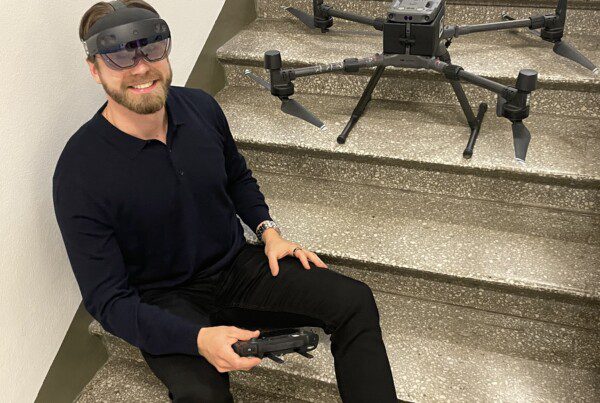
Beyond Visual Line of Sight (BVLOS) software such as AirHUD from Anarky Labs is a key technology that allows drone pilots to fly drones safely and efficiently without needing to rely as much on their spotter. A pilot using AirHUD can cut operational time by as much as 40%. This is because when you fly your focus is always where the drone is, in the sky, rather than looking at the control console and relying on spotters telling you where to fly.
”The way we use software like AirHUD which I think is the future of BVLOS operations in drone management will mean savings in time and significant gains in efficiency. The software allows you to see the data in the sky through AR goggles. So you know where the drone is, the direction, the distances, 3D maps of the terrain, UI things that just help the pilot understand exactly what he needs to do. We’re looking at a 40% efficiency gain per flight in my humble opinion.
Stephen SuttonManaging Director - FlyBy Guys
The software is designed to provide you with the information and tools you need to maintain situational awareness, even when the drone is flying outside of your line of sight.
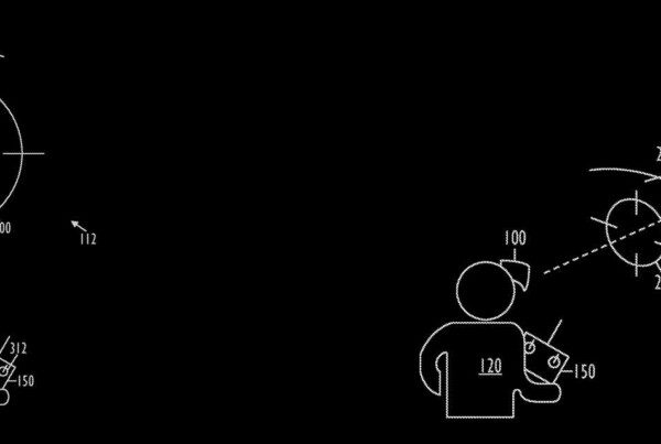
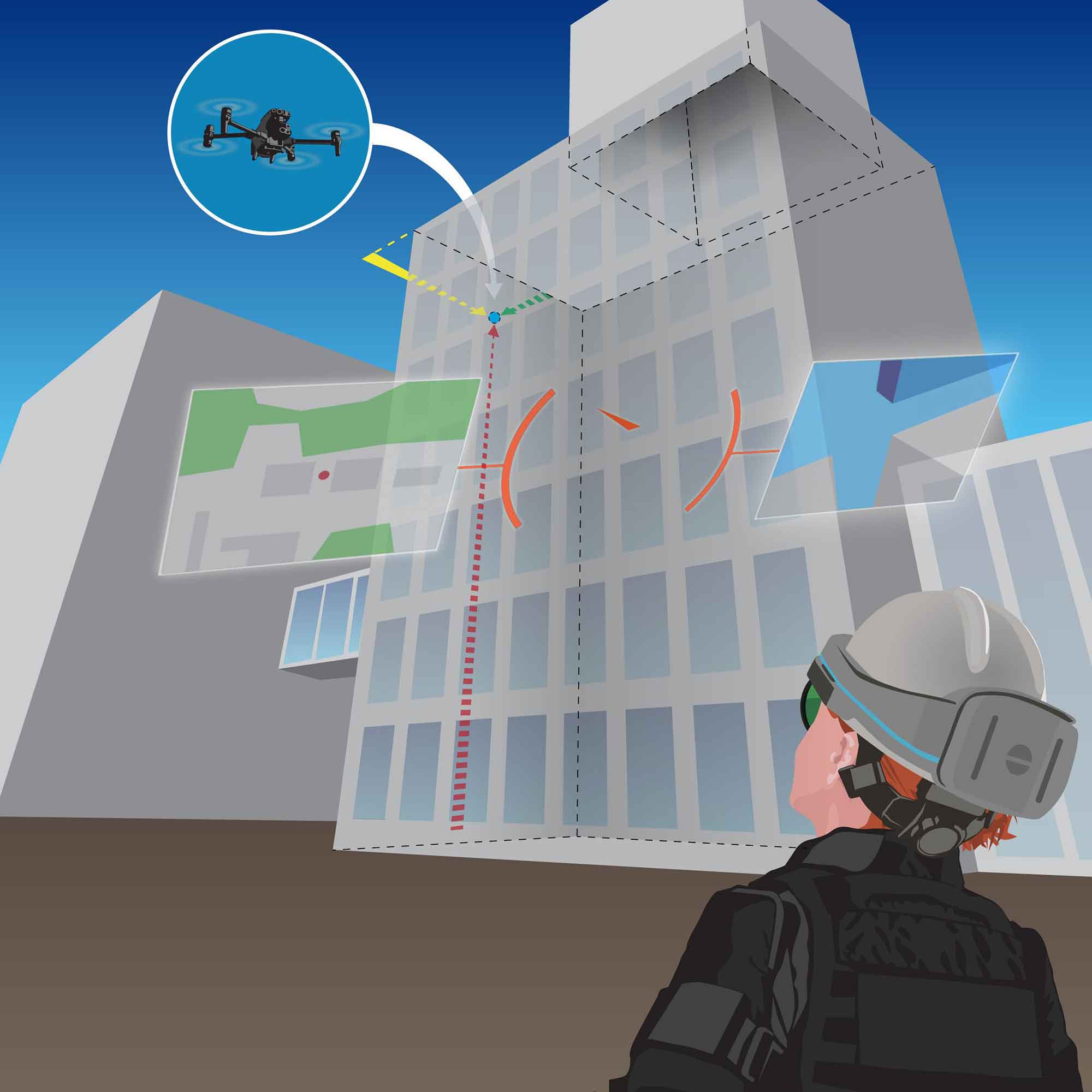
- AirHUD using Augmented Reality revolutionises the way information is shown to professional drone pilots. It is the first real heads-up display for drone pilots, much like what you see in science fiction movies where data is displayed in midair while you watch your drone.
- AirHUD visualises vital data like the nearest building and the distance to it, remaining flight time or airspaces. It also shows the drone’s position, where its nose is heading, GPS status and battery levels in the air, where the drone is. You see the position of the drone behind obstacles, trees and buildings so you can safely navigate.
- Pilots are given a new way of understanding their surroundings, showing obstacles, enhancing night flights and eventually enabling spotter-less operations.
So how does drone management help in real-life situations?
All these features allow you to maintain situational awareness and make split-second decisions even when the drone is flying BVLOS, potentially without needing a spotter if legislation allows.
Drone management in Search and Rescue
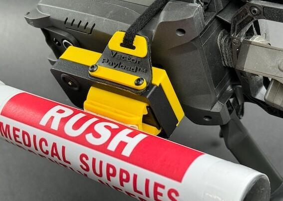
The use of BVLOS drones in search and rescue operations can greatly increase the efficiency and effectiveness of the search. Using a drone you can cover a large area quickly and safely, providing a bird’s eye view of the search area. This can be especially useful if you’re in mountainous or rugged terrain, where it can be difficult for ground-based search teams to access. By using a drone beyond the visual line of sight, you can quickly scan a large area and locate missing people or survivors more efficiently and with less risk to the search team.
Drone management in Policing
Police and law enforcement agencies also use drones for BVLOS operations in dangerous or high-risk situations. For example, a drone equipped with cameras and sensors can be sent into a building or other location before officers are sent in. This allows the police to gather information about the location, such as the layout and number of people inside, and to identify potential hazards or threats. It can help to ensure the safety of the officers or other first responders and can also provide valuable intelligence that can be used to plan and execute the operation.
Drone management in Shipping
In marine shipping, BVLOS drones are increasingly being used for inspections of ships, ports, and offshore structures. This allows for the collection of data and images of hard-to-reach areas such as the bottom of the ship’s hull, the cranes, and the storage tanks. It can reduce the need for divers, manned boats or other means of inspection, which can be expensive, time-consuming and dangerous. By using a drone BVLOS, companies can conduct inspections faster, more efficiently and at a lower cost, while also increasing safety for the personnel involved.
Summary
Overall, the use of BVLOS drones in various industries can significantly increase efficiency, save money and reduce risks. The key to safe situational awareness in drones is using BVLOS software, which ensures that the drone is operated in a safe and responsible manner and that potential hazards are identified and avoided. By using advanced BVLOS software like AirHUD, drones can provide valuable data that can be used to make informed decisions, increase safety, and improve operations.
Hannu Lesonen is the CEO and founder of Anarky Labs, a pioneer in developing situational awareness software for drone operations. Hannu has been a speaker at many events around topics such as BVLOS in drone operations and extending vision in robotic operations. He’s always available to discuss if you’re interested in trying the software, or if you’re a journalist or an event manager. He can be reached at his email so feel free to reach out.